Listing Details
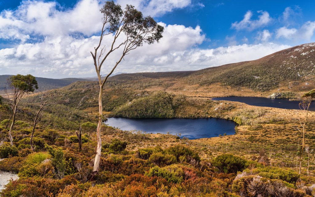
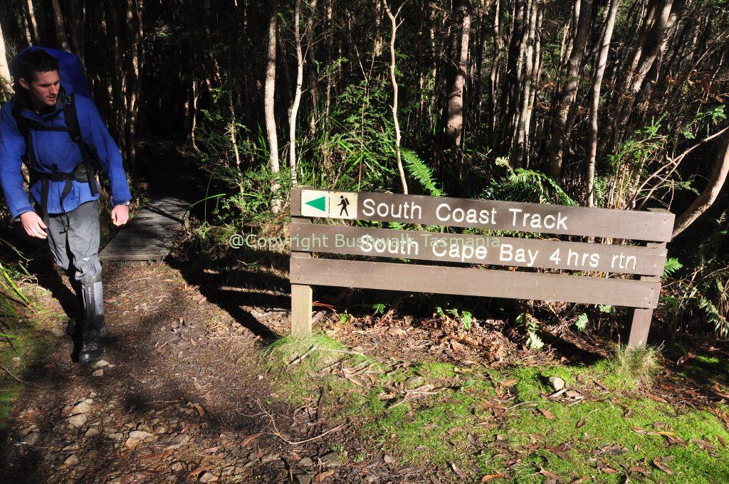
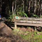
The Port Davey and South Coast walking tracks lie within the Southwest National Park Tasmania and take walkers through the heart of over 600,000 hectares of wild, challenging country. They are more remote than many other walks in Tasmania, such as the famous Overland Track. It is highly recommended that walkers gain experience on other Tasmanian walking tracks before attempting the Port Davey and South Coast tracks, as due to their remoteness, walkers are a long way from help should it be required. The Port Davey Track is 70 km in length and used by walkers between Scotts Peak Road and Melaleuca. The South Coast Track is 85 kilometres in length and used by walkers between Cockle Creek and Melaleuca. There are no roads to Melaleuca; walkers must either fly, sail, or walk in and out. The Port Davey Track starts from the Huon Campsite, near the end of the Scotts Peak Road. This is reached via Maydena and Frodshams Pass, app. 2 - 3 hours drive west of Hobart. The Port Davey and South Coast Tracks are challenging walks in a region of Tasmania regularly exposed to harsh weather conditions. With no huts on the Port Davey South Coast Track, walkers must be fully self-sufficient, well-equipped, and experienced and carry your own tent, cooking provisions, food, and water,
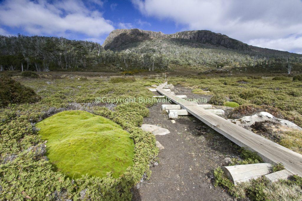
Most people take about 4 to 5 days to complete the Port Davey Track and either fly out at Melaleuca or continue along the South Coast Track to Cockle Creek; this being a further 6-8 days walk. The Port Davey Track has some steep and muddy sections. Most people take approximately 6 - 8 days to complete the South Coast Track. The duration will depend upon time spent enjoying the many beautiful beaches along the way. Walkers should note that the track surface may be rough and muddy over extended sections of the Port Davey Track and South Coast Track; especially during winter months.
The Port Davey Track at a glance:
- 4 days minimum; 5-7 recommended
- Harsh and challenging weather
- No accommodation; walkers must carry tents and suitable clothing
- App. 200 people walk the Port Davey track each year
- App. 1000 people walk the South Coast track each year
- National Parks fees apply.
On the South Coast Track, the Ironbound Range rises to 900 m where the weather can change rapidly, make sure you register your walk before the commencement
Approx. Walking Times:
- Scotts Peak to Junction Creek 3-4 hours
- Junction Creek to Watershed Camp 7-9 hours
- Watershed Camp to Spring River 5-6 hours
- Spring River to Melaleuca 8-11 hours
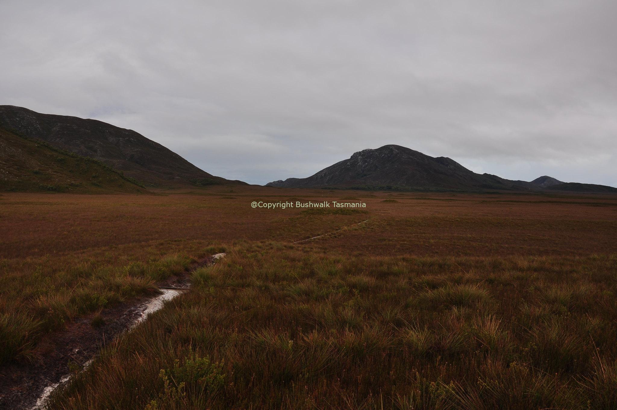
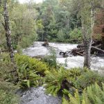
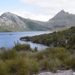
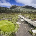
The Southwest National Park is an experience you will never forget. This enormous area of World Heritage wilderness is remote, ancient, and epic in its proportions. The Roaring Forties lash the park for much of the year, adding to the drama, and even the natural waterways are immense in size. It is interesting to note that Port Davey and Bathurst Harbour together are bigger than the Sydney Harbour. Click here for information on camping Port Davey Track. The terrain on this trek is classic South West Tasmanian remote bushwalking topography, it's wild, remote and spectacular in every respect. You will be venturing into remote wilderness and trekking through river valleys, rainforest and through muddy moorland where the weather is extremely changeable. Walkers need to be highly-experienced, and you need to carry equipment for all eventuality including appropriate wet weather equipment and footwear are to be expected during this bushwalk.
Tags
Features
Location
Port Davey Track 0 reviews
Login to Write Your ReviewThere are no reviews yet.

