Listing Details
The South Coast Track is unquestionably one of the world's great wilderness walks. It covers a distance of 84 km walking track along the southern coastline of Tasmania. The track crosses the southern edge of the largest temperate wilderness areas in the world and is generally covered in between 5 and 9 days. The South Coast track has repaired in recent years and is no longer considered to be muddy by experienced Tasmanian walkers. New walkers to this area do however need to be aware that they will encounter very difficult conditions and significant amounts of mud. After heavy or prolonged rain, muddy sections can be several km's long with the mud often being deep enough to cover your knees. The South Coast track has no services along the walk apart from limited toilet facilities at major campsites. Please note there are no huts or shelters whatsoever on the walk, so you must carry your own good quality tent. There are also no roads or sidetracks, no radios or ranger stations, and basically no signs of civilisation apart from the occasional track work to reduce mud. There are many campsites along the track and you will rarely have a problem in finding a campsite overcrowded. Walks vary from 5 to 9 days in length, however, it is recommended that you allow between 7 to 9 days. Many people combine the Port Davey Track and South Coast Track.
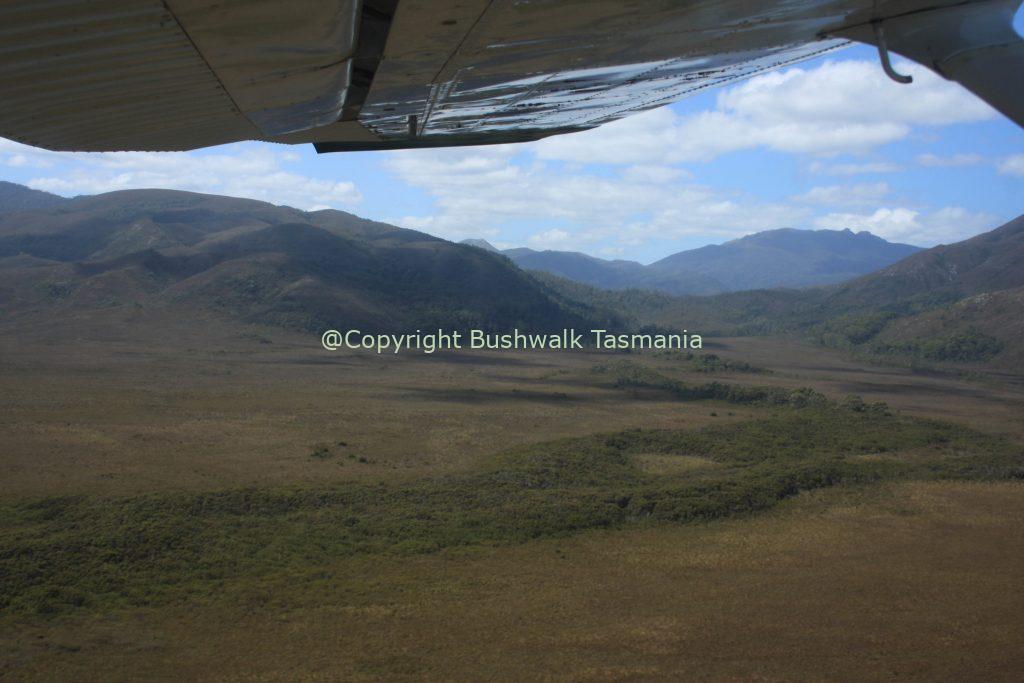
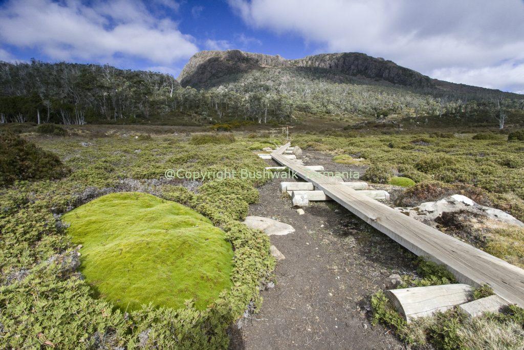
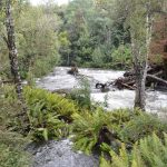
Most people take approximately 5 - 9 days to complete the South Coast Track. The duration will depend upon time spent enjoying the many beautiful beaches along the way. Walkers should note that the track surface may be rough and muddy over extended sections of the South Coast Track; especially during winter months. The track follows the wild southern coastline of Tasmania. It crosses two mountain ranges to avoid sections of impassable coastline and also crosses long sections of open plains behind the coastline. It only follows the coast itself where there are beaches. Following the coastline or just inland means there are many streams to cross. There are no bridges over most streams and many of these are normally knee-deep wade. The streams do sometimes flood after heavy rain but normally drop quickly and if a flood happens it is advised to wait before crossing.
The South Coast Track at a glance:
- 4 days minimum; 5-7 recommended
- Harsh and challenging weather
- Large sections of mud, especially after heavy rain
- No accommodation; walkers must carry tents and suitable clothing
- App. 1000 people walk the South Coast track each year
- National Parks fees payable before entering the Park
- Record your trip intentions in the registration book at the start of the walk
Approximate Walking Times:
- Melaleuca to Cox Bight 4-5 hours
- Cox Bight to Louisa River 6-8 hours
- Louisa River to Deadmans Bay 10-12 hours
- Deadmans Bay to New River Lagoon 4-5 hours
- New River Lagoo to Granite Beach 5-6 hours
- Granite Beach to South Cape Rivulet 7-8 hours
- South Cape Rivulet to Cockle Creek 3-5 hours
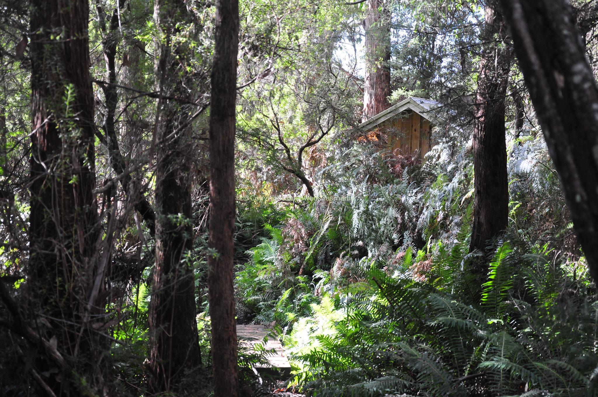
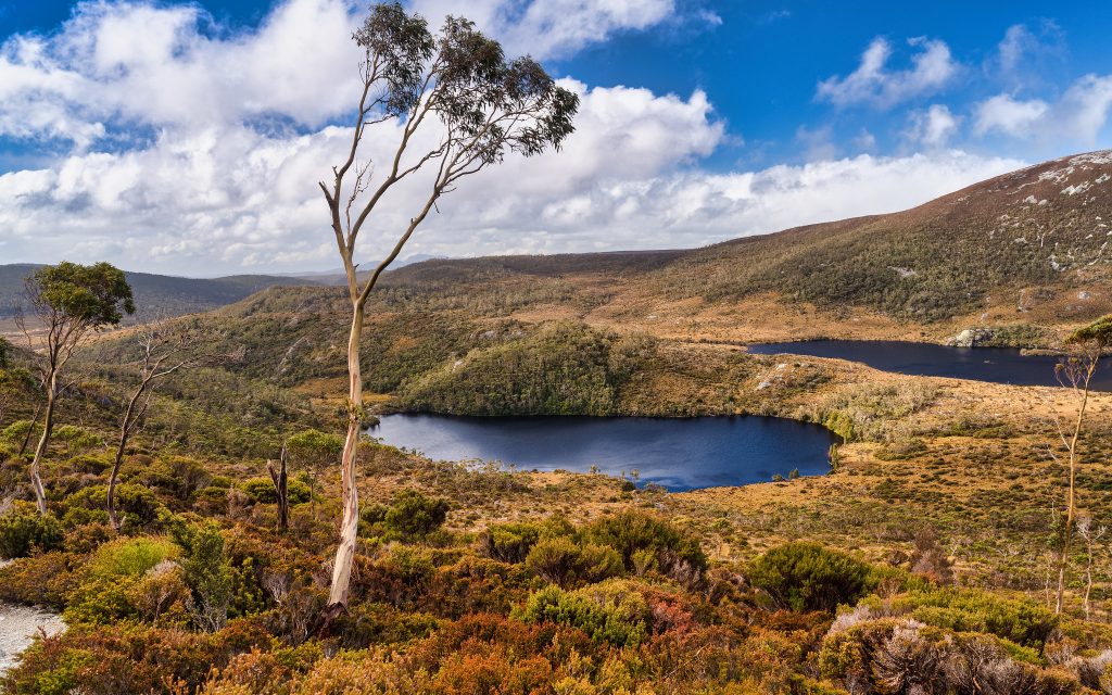
Please note that there is no formal accommodation Cockle Creek, Melaleuca, or Scotts Peak, meaning that walkers must be self-sufficient and able to camp at both the start and end of the track. There are campgrounds at both Cockle Creek and at Scotts Peak - Huon Campground. At Melaleuca there are two bushwalkers huts, a toilet, and a rainwater tank with a small shelter also located at the airstrip at Melaleuca. From the airstrip, a short path leads to the Deny King Memorial Hide, which offers visitors the opportunity to see the rare, and highly endangered orange-bellied parrot during summer months. Click here for information on camping South Coast Track. The magnificent Southwest National Park covers in excess of six hundred thousand hectares (600,000) of wild, windswept, magnificent country forming part of the Tasmanian Wilderness World Heritage Area. The park is the largest in Tasmania. Much of it is remote and a world away from the hustle and bustle of modern city life. The region offers the challenge to explore areas that you would rarely get the chance to experience. In the park, you will see rare and endangered plants and spectacular wildflowers. The park is also home to the famous Tasmanian Huon pine. You will also see challenging rapids, numerous rivers, and spectacular waterfalls. To the north of the park you will also find beautiful Lake Pedder and Lake Gordon near the town of Strathgordon. The town offers various water activities as well as various places to visit in the surrounding regions.
Walking recommendations:
Melaleuca to Cox Bight/Point Eric
- Distance: 13.4km, easy & medium walking conditions
- Time: 3.5 - 5 hours
Cox Bight / Point Eric to Louisa River
- Distance: 17km of medium walking conditions
- Time: 6 - 8 hours
Louisa River to Little Deadmans Bay
- Distance: 13 km of hard walking, mountain ascent
- Time: 7 - 10 hours
Little Deadmans Bay to New River Lagoon
- Distance: 9 km of medium walking conditions
- Time: 3 - 4 hours; add app. 1 hour for the boat crossing
New River Lagoon to Granite Beach
- Distance: 12 km of medium walking
- Time: 5 - 7 hours
Granite Beach to South Cape Rivulet
- Distance: 9 km of medium to hard walking, long ascents
- Time: 7 - 10 hours
South Cape Rivulet to Cockle Creek
- Distance: 11 km, easy walking
- Time: 4 - 5 hours
Most people walk during the warmer months between December and March. However, irrespective of when you walk, always be prepared for cold winds and heavy rain at any time of year. We recommend you check the latest weather forecast before starting your trip. It’s possible (but not advisable) to walk the track in winter, or alone, as long as you are highly experienced and well prepared. However, walking in winter and alone is not recommended as it is possible to face extreme weather conditions.
Tags
Features
Location
South Coast Track 0 reviews
Login to Write Your ReviewThere are no reviews yet.

